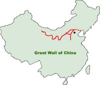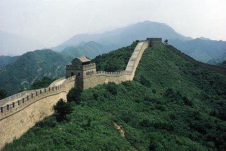
According to Hong Kong's Mingpao newspaper, the Information Center for Basic Geography of China's State Bureau of Surveying and Mapping is investing in a 200-million yuan ($25 M) project to survey and map the Great Wall of China, using Remote Sensing, GPS, GIS and conventional survey methods. Additionally, they plan to present 3-D images of the Great Wall on the internet.
Although some local surveys have been conducted on various segments of the Great Wall, the exact length is not known. During the Ming Dynasty (1368-1644 CE), when it was substantially completed, it was believed to be approximately 6300 km, or 3800 miles in length. Others indicate it may be over 7000 km (4500 miles).
The article indicates they also intend to have airborne sensors traverse the length of the Wall, and will also identify ruined sections via soil and archaeological analysis.
Technorati tags:
aerial photography, archaeology, architecture, China, earth observation, engineering, Geography, gis, gps, history, imagery, map, mapping, news, photogrammetry, remote sensing, surveying


Oh! That's very intersting idea. I think that not only images could be nice but also more advanced 3D visualizations like those in the ReGeo poject proposal of 3D models of castle and interior (see Test it! on the right panel).
I'm sorry, I gave link to the ReGeo homepage but not to Visualizations.
Here is the right link:
Development of 3D Models - Objects in various scales